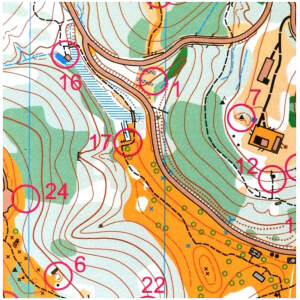
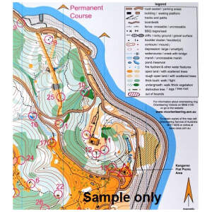
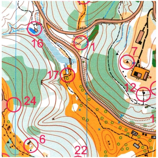
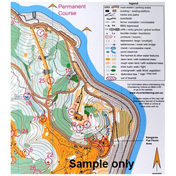
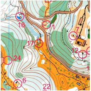
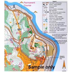
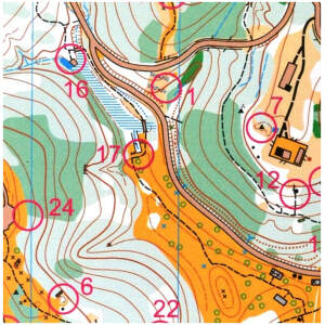
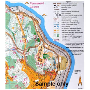
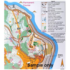
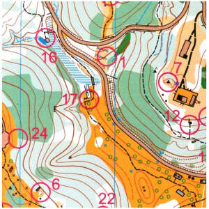
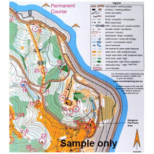
Full-colour orienteering map of Brimbank Park with permanent markers.
Park Attractions:
Situated in a bend of the picturesque Maribyrnong River, this historic parkland has plenty to offer to the casual or dedicated orienteer. The park has many paved walking tracks, picnic facilities and the Leaping Lizard cafe is open most days.
With the majority of permanent orienteering courses in Melbourne being out east, this makes Brimbank Park a must for your local western suburb orienteering activity, or a great trip to a fantastic location.
Easily accessible just off the the offramp at the intersection of Calder Freeway and Western Ring Road.
Map & Course Information:
- Parkland
- 31 controls on posts with punches
- Scale: 1:5,000
- Contour Interval: 5 metres
- Address: Keilor Park Drive, Keilor East.
- Melway map reference: 15 B10












Reviews
There are no reviews yet.